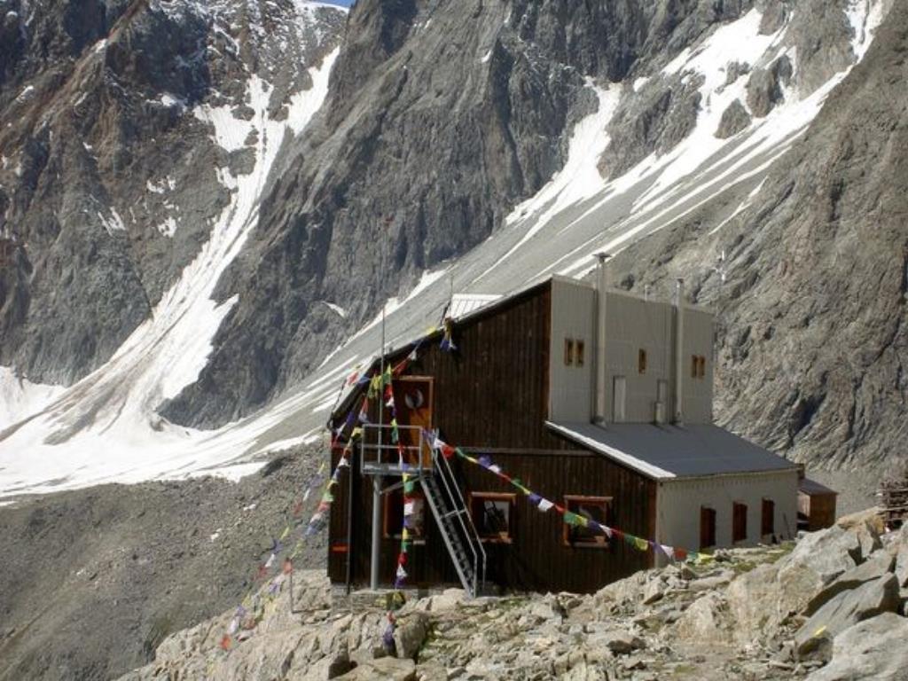
Rifugio Prarayer m. 2.788
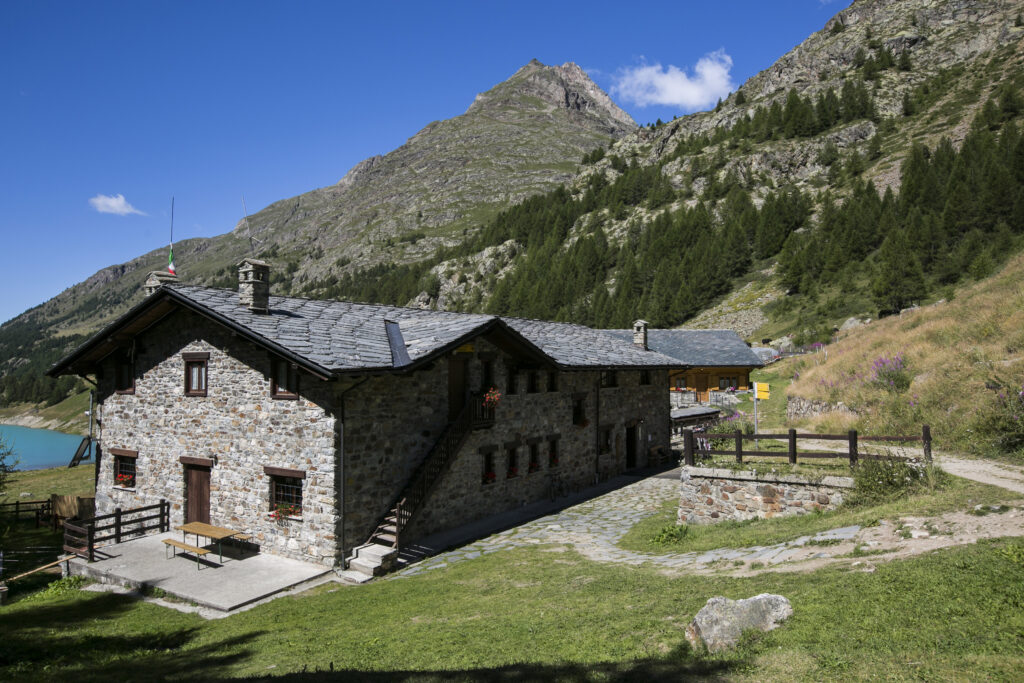
The Prarayer refuge it is located in the upper Bionaz valley, between great mountains, glaciers, forests, streams and lakes. The refuge is a stage of the Alta Via n ° 3 of the Aosta Valley and of the Matterhorn Tour. In summer it is a good base for climbing, hiking, mountain biking, fishing; in winter and spring for ski mountaineering trips. In the refuge it is possible to request the assistance of the mountain guide “Mezzavilla Alessandro” for mountaineering, hiking and ski mountaineering. It offers comfortable accommodation in dormitories and bedrooms, bar, restaurant with typical Aosta Valley cuisine. Open from March to November. Tel. (+39) – 0165 – 73.09.22 -73.00.40
Rifugio Aosta m. 2.788
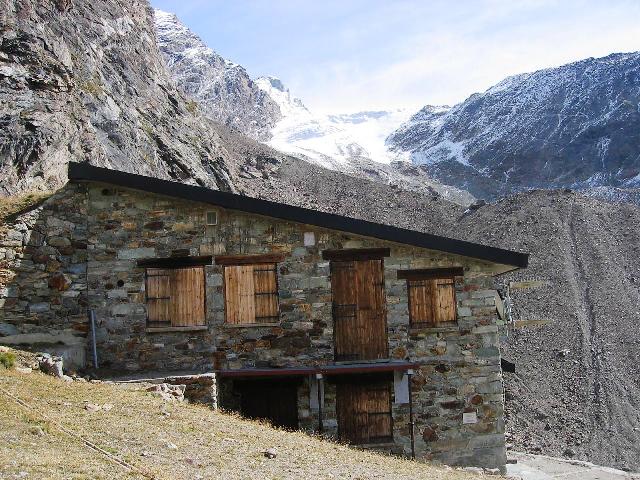
The Capanna Aosta refuge t is located on a ridge east of the terminal tongue of the Tza de Tzan glacier, in the head of the Valpelline. It has 30 beds. The winter room with 14 beds is always open. The Aosta refuge is located at the end of the small valley that leads to the Tête de Valpelline.From the car parks in Place Moulin, continue along the 4×4 road along the artificial lake (5 km), reaching the Prarayer refuge (2005 m). From the refuge, continue into the valley following path 10a which climbs up to the left (ignore the path on the right for the Florio bivouac). Along the way, of great development, you will come across a majestic 500-year-old larch, over 24 meters high. In the Aosta Valley dialect it is called “La Brenva foula di Gordzè” which means “The mad oak located in the Gordzè area, because this tree is the first to turn green in spring and the last to lose its green needles in autumn. Once in sight of the refuge, head to the right, on the indicated track, in the direction of the glacier seracs, overcoming the spur that leads to the Aosta hut through some short sections equipped with chains.
Rifugio Collon Nacamuli m. 2.828
The hut Alessandro Nacamuli, or Collon was rebuilt in the early nineties. The possibilities for trips in the area are innumerable and range from two-day trips to ski mountaineering raids for three to six days and more, with loop or traverse routes. The refuge is a stop of the “Tour du Cervin”, a 7-8 day tour that allows you to admire from all sides one of the most representative mountains of the Alps, and also of the “Tour des Grands Barrages”. tel 0165/730047 – 328/2128835.
Rifugio Crête Sêche m. 2.410
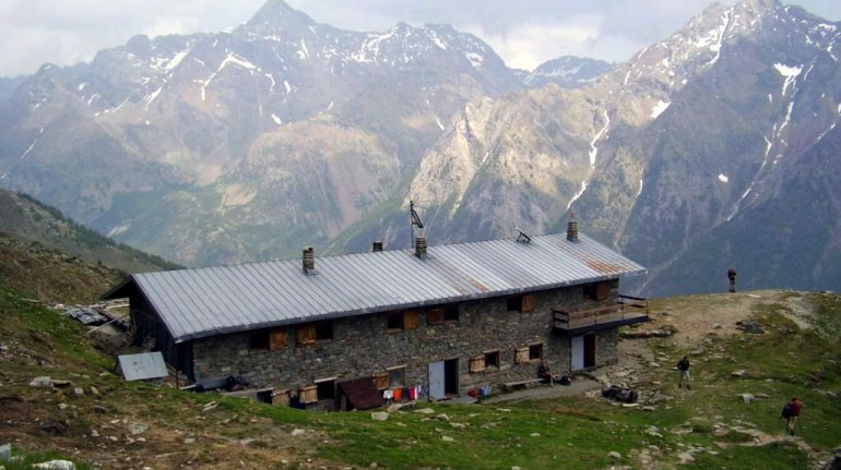
The Crête Sèche refuge is dominated by the homonymous crest, from which it takes its name. You can admire the ridge’s filiform spiers and its towers. Built in 1982 not far from the Government’s Berio, which housed a guard post during the French Revolution, the welcoming refuge is also ideal for children, given the meadows that surround it and the not excessive distance from the valley. The panorama you can enjoy is grandiose Tel 0165/730030
Rifugio Amiante m.2.979

The Chiarella Amiante refuge stands at the top of a rocky spur overlooking the magnificent By valley. Vast panorama of Mont Velan, Grivola, Gran Paradiso, Emilius, Tersiva and the imposing Morion chain. Built by the Chiavari Section of the CAI in 1975-76, it joins the old hut built by the Turin Section in 1912. Normally, those who want to reach the Refuge must start from the village of Glacier in the Municipality of Ollomont where the road ends. Here, about 150 meters before the bridge over the Buthier stream, a mule track begins (n. 4) which climbs up the wooded coast, then becomes a path and soon reaches the Farinet house. From this point it follows the left branch, which leads in a short time to the farmhouses of By, rises gently to Le Baracche at 2303 m di quota. Then it continues quite steep zigzagging to the left, rises towards easy slabs with a fixed rope and reaches a rocky shoulder from where ityou can quickly reaches the Refuge.
Bivacco Spataro m. 2.600
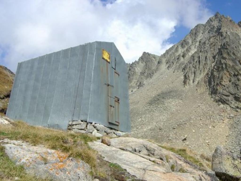
You go up from the village Ru, you pass by a grassy terrace at the Alpe Promot. Continue among firs and larches, go beyond the intake of an aqueduct and, after a few turns, cross the Comba di Vertosan stream, until you reach Alpe Berrier. Take an obvious path that passes near a large wooden cross, just above Alpe Berrier. Now oblique to the left on a slight slope and suddenly, you can see the roof of the Crête Sèche Refuge sticking out. Higher than the refuge, the Spataro bivouac is clearly visible, placed above a jump of rocks. The climb ends at the edge of the marshy Plan de la Sabla.
The Spataro bivouac is now clearly visible on your left but, to reach it, it is advisable to walk for a few minutes along the Plan de la Sabla at the search for some stones placed at the ford of the numerous streams. Cross and go back on the opposite banks following the cairns up to the Spataro bivouac.
Bivacco della Sassa m.2.973
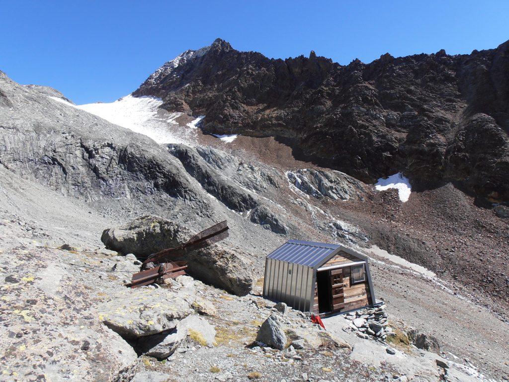
It is located in the valley of the Sassa. The landscape is lunar. If you go on a sunny day, don’t forget the water. The climb to the ridge is always in the sun! Beds: 12 – Winter places: 12 – Gas stove available
Itineraries •Cabane Chanrion from Col d’Otemma •Bivouac de la Sengla from Col d’Otemma •Bivouac de la Sengla from Col Blanchen Ovest •Cabane des Vignettes from Col Blanche Est •Rifugio Collon from Colle della Sassa
Ascents•Becca di Làbie – •Becca della Sassa – •Gran Becca di Blanchen •Becca des Lacs – •Becca Bovet – •La Sengla.
Bivacco Laura Florio m. 3.320
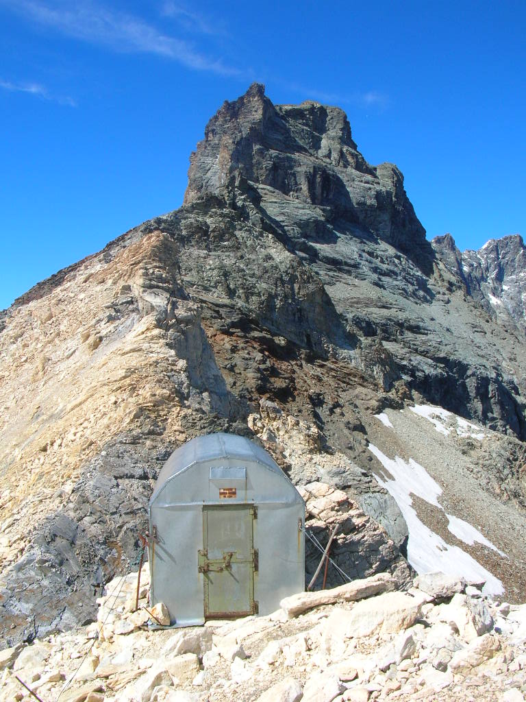
Location: Col du Créton – Sleeps: 9 – Opening: always open – Difficulty: AD – Signpost: no Travel time: 6h from the Prarayer Refuge – 3h from the Bobba Bivouac Coordinated EAST WGS84: 390389 – Coordinated NORTH WGS84: 5086364 ASCENSIONS: Chateau des Dames mt. 3.488, Tour du Creton mt. 3.579 Beautiful long climb, far from the beaten track. The ascent to the bivouac is in itself a beautiful high mountain climb. Pay attention to the glacier in the lower part and above all to the couloir that leads to the upper slopes. Rock on the final crest is not always good. From the Place Moulin dam, follow the road to Prarayer and a little further on, follow path 11.
Bivacco Regondi m. 2.560
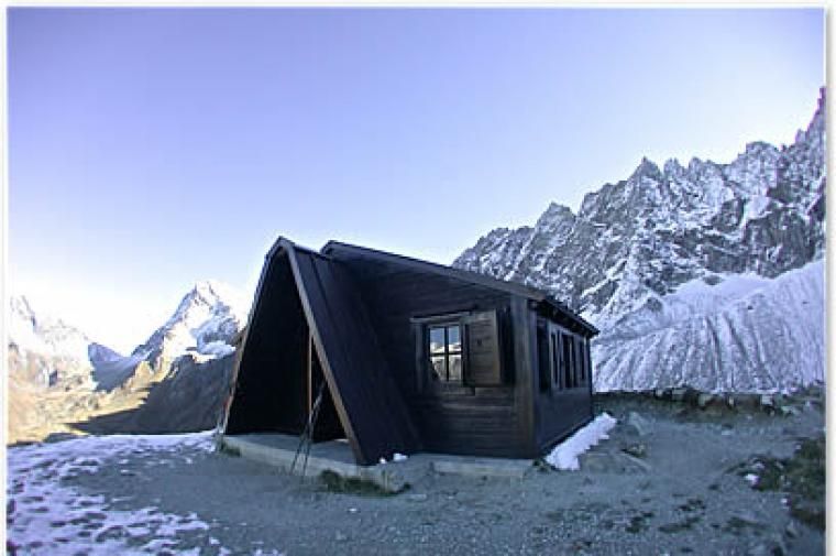
From Glacier, the last village of Ollomont, cross the bridge over the Buthier stream and take the road towards Alpe Crottes (1733) trail no. 6. Continue past the Alp on the path that climbs into the valley called la Gaula. In the narrowest part of the rocky gully, a short detour to the right leads to the oratory of the Gaula (1864 m). The path continues towards Alpe le Place (2149 m) and then reaches the vast and marshy Plan du Breuil at the base of Mont Gelé. Going around this ledge on the right, go up to the right on an obvious diagonal path under the rocky jumps
Once you reach the Col Cormet 2460m, you proceed with numerous turns, until you reach a saddle near Lac dell’Incliousa (2420m). Returning to the left, the path faces the grassy slope overlooking the left bank of Lake Leitou and from there in a few minutes, leads to the bivouac.
Bivacco Prà de Dieu m.3.160

Opened in November 2009, it is located under the Becca di Luseney.
Bivacco La Lliée m. 2.422
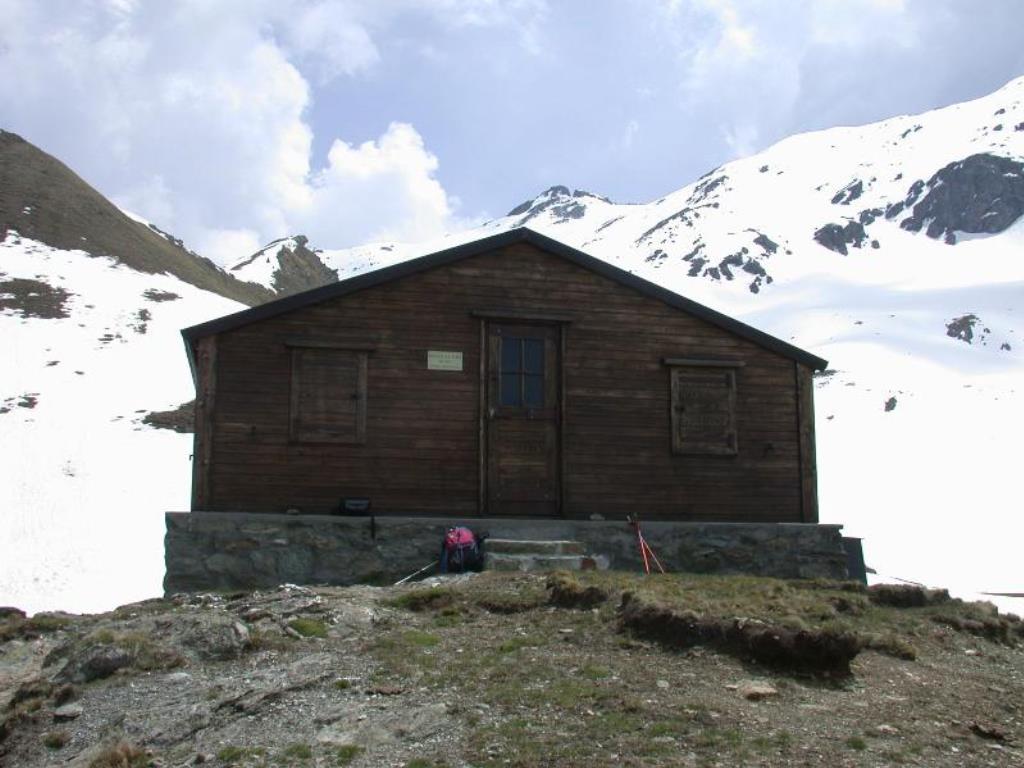
Located in the Valley di Verzignolette Beds: 18 – always open – Difficulty: E Signpost: yes 4 from Vernosse and 6 / 6a from Moncorvè Travel time: 4h30 from Vernosse (Oyace), 5h from Moncorvé (Valpelline) Coordinated EST WGS84: 375844 Coordinated NORTH WGS84: 5075239 Access from Vernosse / Oyace From Vernosse reach the bridge and follow the agricultural road until you reach the path that climbs to Verdona, until the Broille pasture and Alpe Chavannes. A little further on you reach the fork for Col d’Arpeyssaou, then turn right to reach the pass and descend on the opposite side until you reach the bivouac.
Bivacco Paoluccio m. 3.572

Location: Colle Budden – Sleeps: 9 – always open – Difficulty: PD – Signpost: no Travel time: 2h30 from the Biv. Tête des Roses Coordinated EST WGS84: 390752 – Coordinated NORTH WGS84: 5088326 The bivouac can also be reached from Valtournenche going up from the biv. Bobba.

